

Description
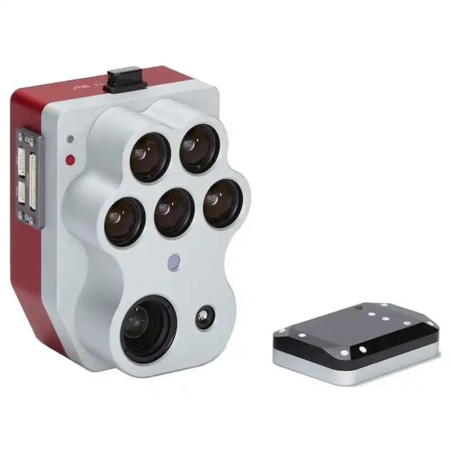
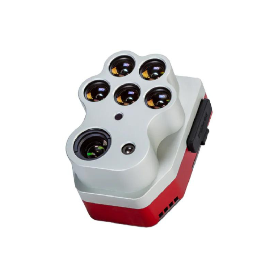
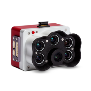
The MicaSense Altum-PT Multispectral Sensor is an advanced drone sensor designed for precision agriculture. It captures detailed multispectral and thermal data, providing insights into plant health, water stress, and disease detection. Its radiometric thermal camera maps temperature variations, offering accurate crop analysis. Built for easy integration with drones, the Altum-PT helps agronomists, researchers, and farmers optimize crop management, enhance yields, and reduce input costs. This sensor is a powerful tool for improving precision in agricultural applications.
| Feature | Description |
|---|---|
| Six Spectral Bands | Equipped with six specialized spectral bands: blue, green, red, red edge, near-infrared (NIR), plus an additional band for enhanced crop health evaluation and detailed vegetation monitoring. |
| Thermal Imaging | Features a radiometric thermal camera that measures temperature variations across the landscape, crucial for detecting water stress, diseases, and inefficiencies in irrigation systems. |
| High-Resolution Imagery | Delivers high-resolution multispectral and thermal images that provide comprehensive insights into crop health, vigor, and environmental conditions. |
| Synchronized Capture | Captures multispectral and thermal imagery simultaneously, enabling thorough analysis in one flight to improve data collection and processing efficiency. |
| Advanced Data Analysis | Offers advanced analytics for producing accurate vegetation indices, thermal heat maps, and other essential data points for in-depth agricultural evaluation. |
| GPS Integration | Merges GPS data with images for precise geotagging, facilitating accurate mapping and continuous monitoring of crop health over time. |
| Low-Light Performance | Performs exceptionally well in various lighting conditions, including low-light situations, ensuring consistent image quality and data accuracy. |
| Easy Integration | Compatible with a wide range of drones, providing flexible mounting options for smooth integration with different unmanned aerial vehicles (UAVs). |
| Efficient Power Consumption | Designed to use minimal power, extending drone flight times and enhancing overall operational efficiency. |
| Durable and Rugged | Built to endure the demands of field use, ensuring reliability and longevity across various environmental conditions. |
| Real-Time Data Processing | Capable of processing data in real-time with compatible software, delivering immediate insights for timely decision-making. |
| Wi-Fi Connectivity | Includes Wi-Fi for simple data transfer and remote management of the drone sensor, improving field operation workflows. |
| Global Operation | Engineered for worldwide use, supporting multiple languages and functioning effectively in diverse geographic regions without restrictions. |
| Data Security | Incorporates advanced security features to protect sensitive information, ensuring data integrity and user privacy. |
| User-Friendly Software Support | Comes with intuitive software tools for data processing and analysis, making it accessible to users of all experience levels. |
| Comprehensive Educational Resources | Supported by extensive online tutorials, documentation, and customer service, MicaSense ensures users can fully leverage the sensor’s capabilities. |
| Flexible Configuration Options | Allows customization of imaging settings and parameters to cater to specific project requirements and objectives. |


Reviews
There are no reviews yet.