Description
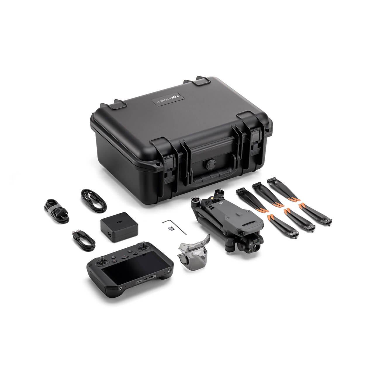
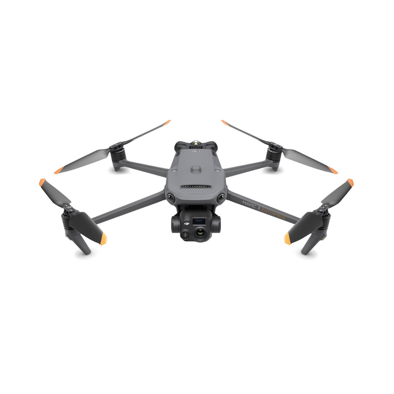
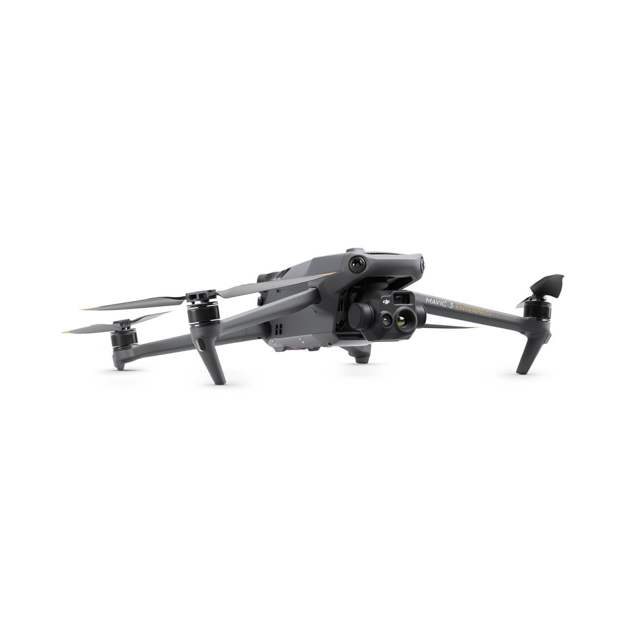
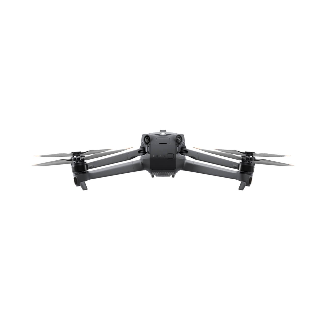
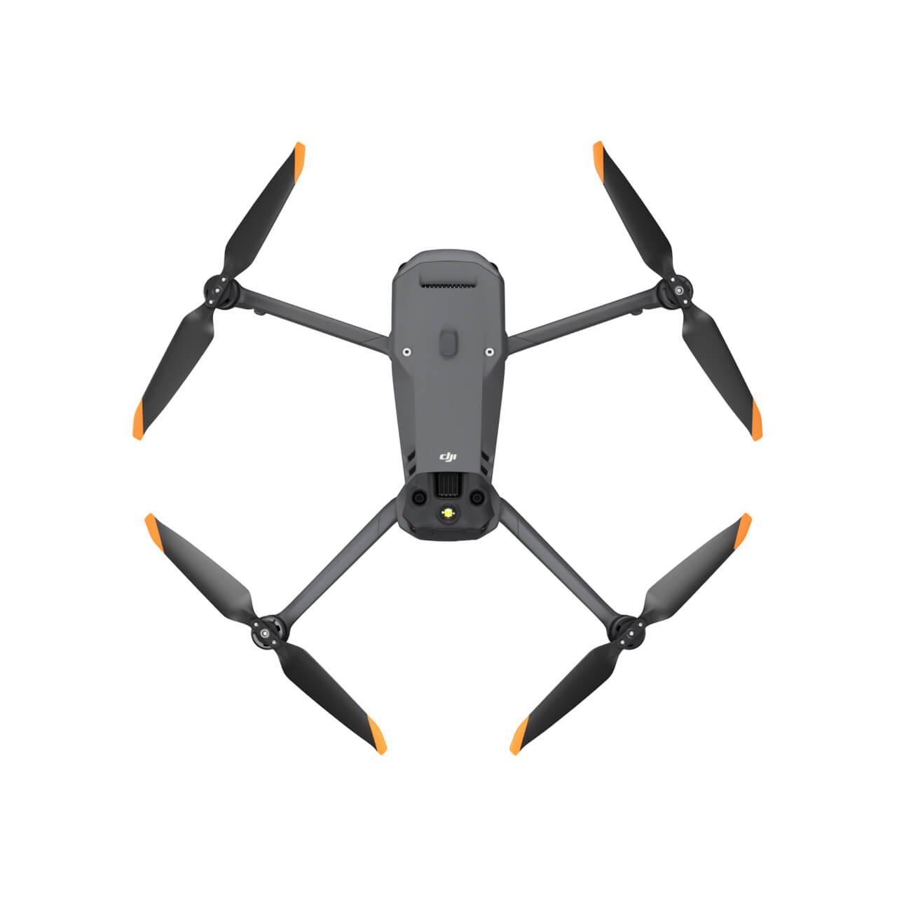
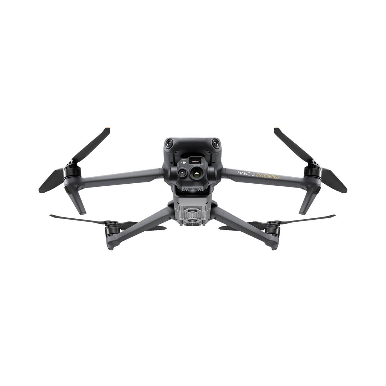
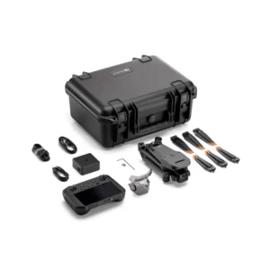
The DJI Mavic 3E is a state-of-the-art drone designed for professional applications that require high precision, efficiency, and reliability. Ideal for industries such as surveying, mapping, agriculture, infrastructure inspection, and environmental monitoring, this drone integrates powerful features and advanced technology to elevate your aerial operations.
| Feature | Description |
|---|---|
| High-resolution 20MP 4/3 CMOS sensor | The large 4/3 sensor offers exceptional image clarity, enhanced light sensitivity, and performs well even in low-light conditions like dawn, dusk, or overcast skies. Its mechanical shutter minimizes motion blur, ensuring sharp images during fast-moving flights. |
| Intelligent 56x hybrid zoom camera | Allows detailed inspection from a safe distance, ideal for powerline inspections, bridge surveys, or search and rescue operations where precision and safety are paramount. |
| RTK (Real-Time Kinematic) module | Provides centimeter-level positioning accuracy, crucial for creating high-precision maps and 3D models without ground control points, benefiting surveyors and geospatial professionals. |
| 45-minute flight time | Extended battery life enables long-duration missions, making it ideal for large-area mapping, infrastructure inspections, and agricultural monitoring without frequent recharging. |
| Omnidirectional obstacle avoidance system | Equipped with sensors on all sides—forward, backward, upward, and downward—ensuring safer flights even in challenging environments like forests, industrial areas, or mountainous regions. |
| Automated flight paths and waypoint navigation | Supports advanced flight planning and execution with minimal manual intervention, enabling precise and repeatable missions for mapping, surveying, and industrial inspections. |
| Terrain-following technology | Ensures consistent altitude over uneven ground, ideal for missions requiring topographic accuracy in hilly or mountainous areas. |
Software Integration and Versatility:
- Seamlessly integrates with DJI’s suite of flight planning and data analysis software like DJI Terra, as well as third-party platforms, streamlining data capture and analysis for industries such as construction site monitoring, precision agriculture, and environmental studies.
- Portable and foldable design: Despite its advanced capabilities, the Mavic 3E remains compact and easily transportable, making it a convenient choice for professionals working in remote or challenging locations.
Built for Tough Environments:
- Designed to withstand harsh conditions, including strong winds, rain, and extreme temperatures, the Mavic 3E offers reliable performance in demanding environments.
- Rugged design with intelligent flight systems allows the Mavic 3E to handle unpredictable conditions while maintaining data integrity and flight safety.



Reviews
There are no reviews yet.