Description
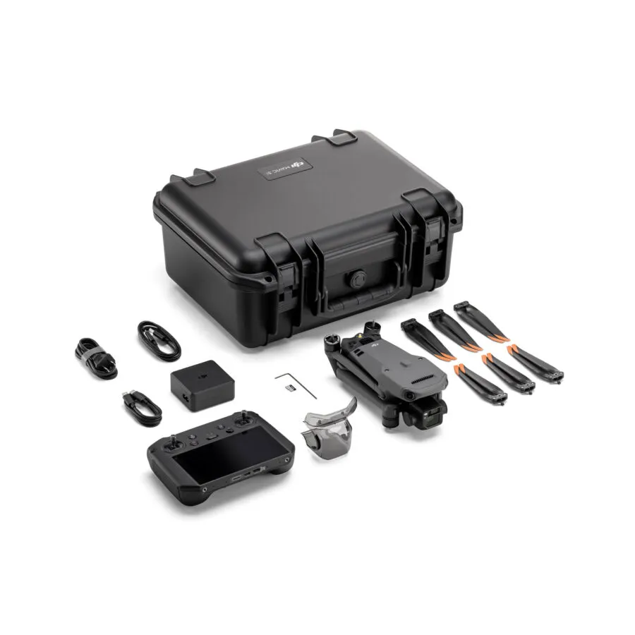
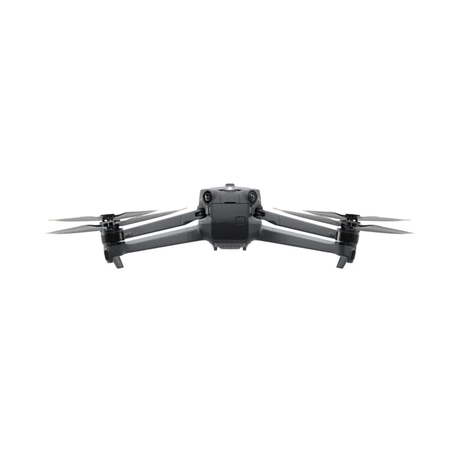
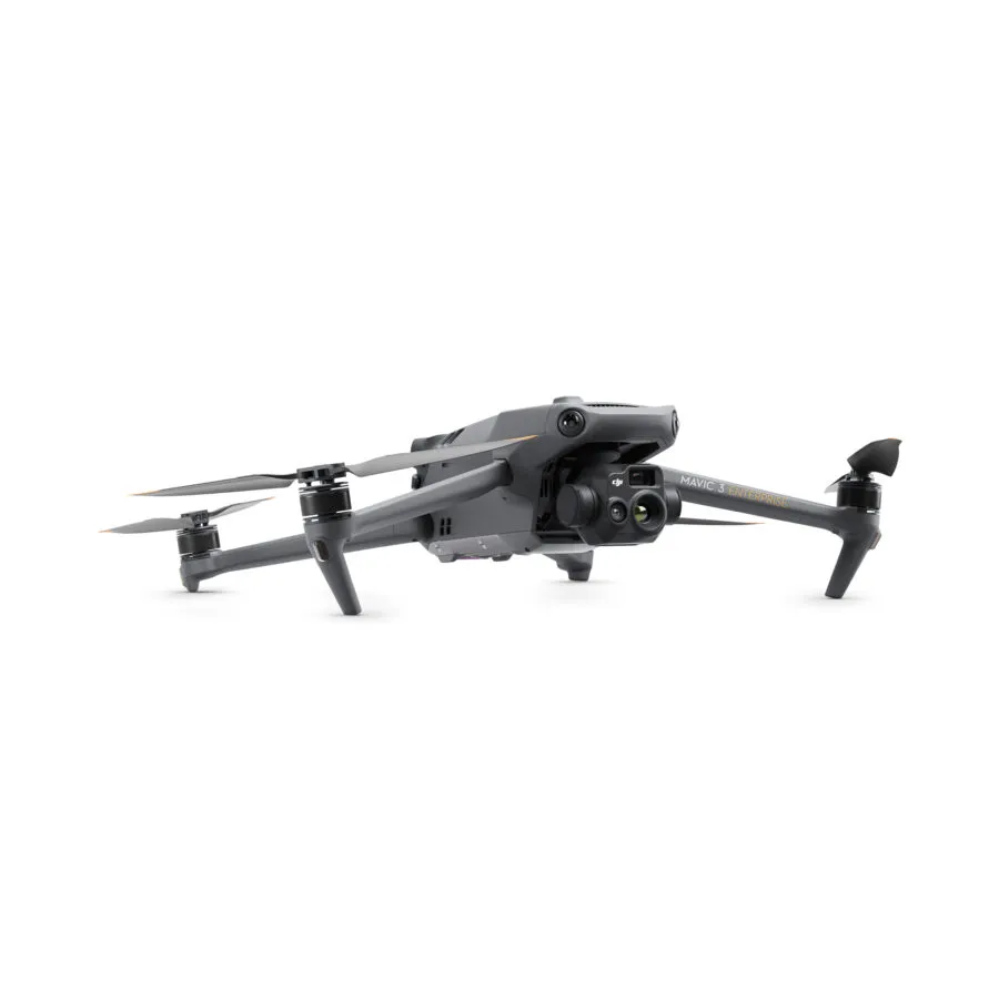
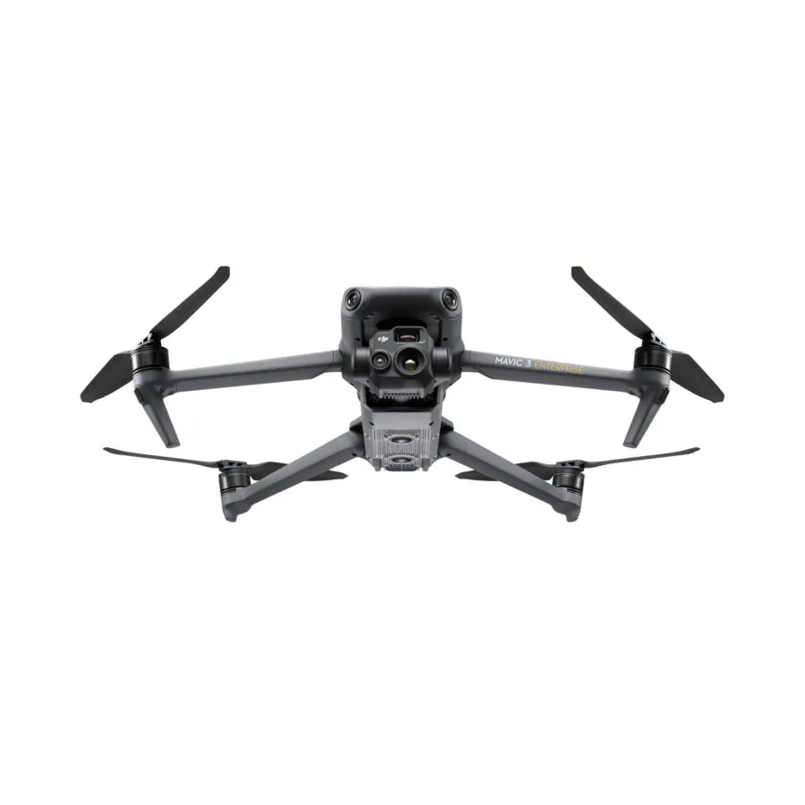
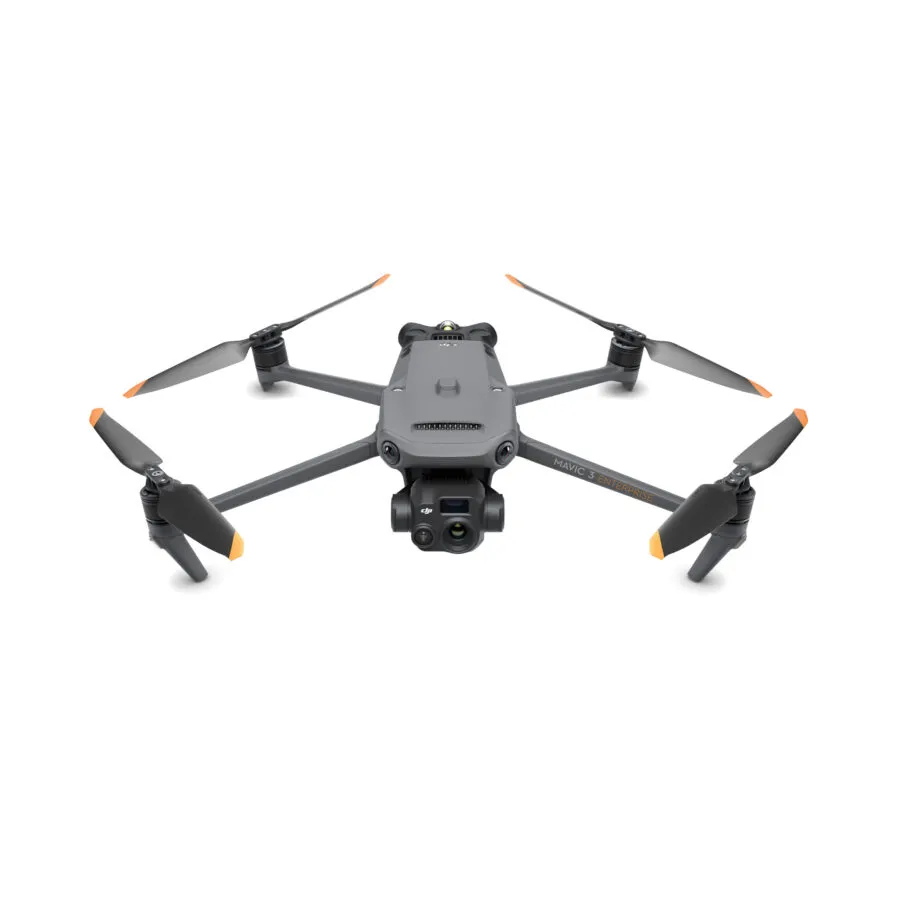
The DJI Mavic 3 Thermal Enterprise Drone (TE) is a state-of-the-art aerial solution tailored for professionals in need of advanced thermal imaging capabilities. Featuring a dual-camera system that merges high-resolution thermal and visual cameras, the Mavic 3 TE is ideal for critical tasks such as search and rescue operations, precision agriculture, and infrastructure inspections. Its thermal sensor effectively captures detailed heat signatures, while the 4K visual camera provides sharp, clear imagery. Enhanced with automated flight paths, real-time data transmission, and an obstacle avoidance system, this drone prioritizes efficiency and safety. Its compact, foldable design and extended battery life contribute to its portability, enabling operations over large areas. As a result, the DJI Mavic 3 TE is an essential tool for industry professionals.
| Feature | Description |
|---|---|
| Dual Camera System | The DJI Mavic 3 TE features a high-resolution thermal camera for accurate thermal data capture and a 4K visual camera for detailed RGB imagery, ideal for comprehensive aerial insights across various applications. |
| Advanced Thermal Imaging | Equipped with a cutting-edge thermal sensor, the drone detects subtle temperature variations, essential for search and rescue, environmental monitoring, and infrastructure assessment. |
| Crisp 4K Visual Camera | The 4K RGB camera captures clear and detailed visuals, perfect for high-resolution imaging tasks such as inspections, surveillance, and documentation. |
| Seamless Image Switching | Allows operators to toggle between thermal and visual feeds in real-time, enhancing situational awareness and operational efficiency in dynamic environments. |
| In-depth Image Analysis | Supported by advanced analysis software with adjustable isotherm settings and accurate temperature measurements for comprehensive assessments and informed actions. |
| Automated Flight and Data Collection | Intelligent flight modes automate data collection, ensuring consistent coverage and uniform capture across designated areas, vital for efficient monitoring and analysis. |
| Extended Flight Duration | Advanced battery technology allows for longer missions and extensive area coverage without frequent recharging, ideal for time-sensitive procedures and large-scale projects. |
| Robust Obstacle Avoidance | Advanced obstacle avoidance technology ensures safe navigation in challenging conditions, reducing crash risks and enhancing safety for the drone and its surroundings. |
| Superior Connectivity and Transmission | Strong transmission system provides stable, long-range thermal and visual feeds, ensuring clear, uninterrupted data view for precision tasks and inspections. |
| Compact and Portable | Foldable, compact design enhances portability, allowing quick deployment in diverse operational contexts, from emergency response to agricultural surveys. |
| Accessory Compatibility | Compatible with various accessories, including spotlights for nighttime operations and loudspeakers for emergency communications, broadening its utility for professional tasks. |
| All-Weather Operation | Built to endure various weather conditions, ensuring reliable performance and data collection in diverse climates for consistent operational readiness. |
| GPS Tagging | Embedded GPS location data in every image and video enables precise mapping, tracking thermal anomalies, and points of interest, crucial for coordinated responses and mapping. |





Reviews
There are no reviews yet.