Description
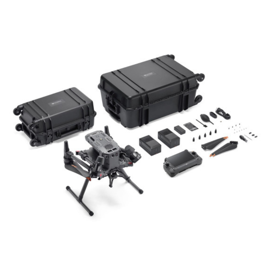
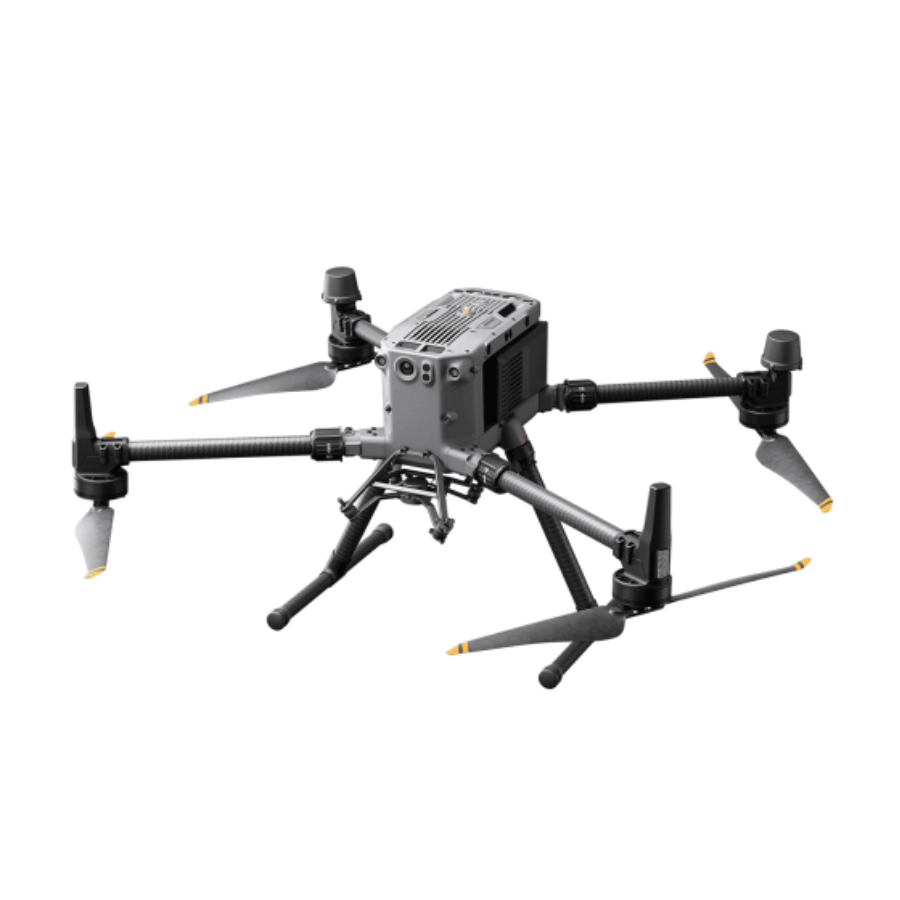
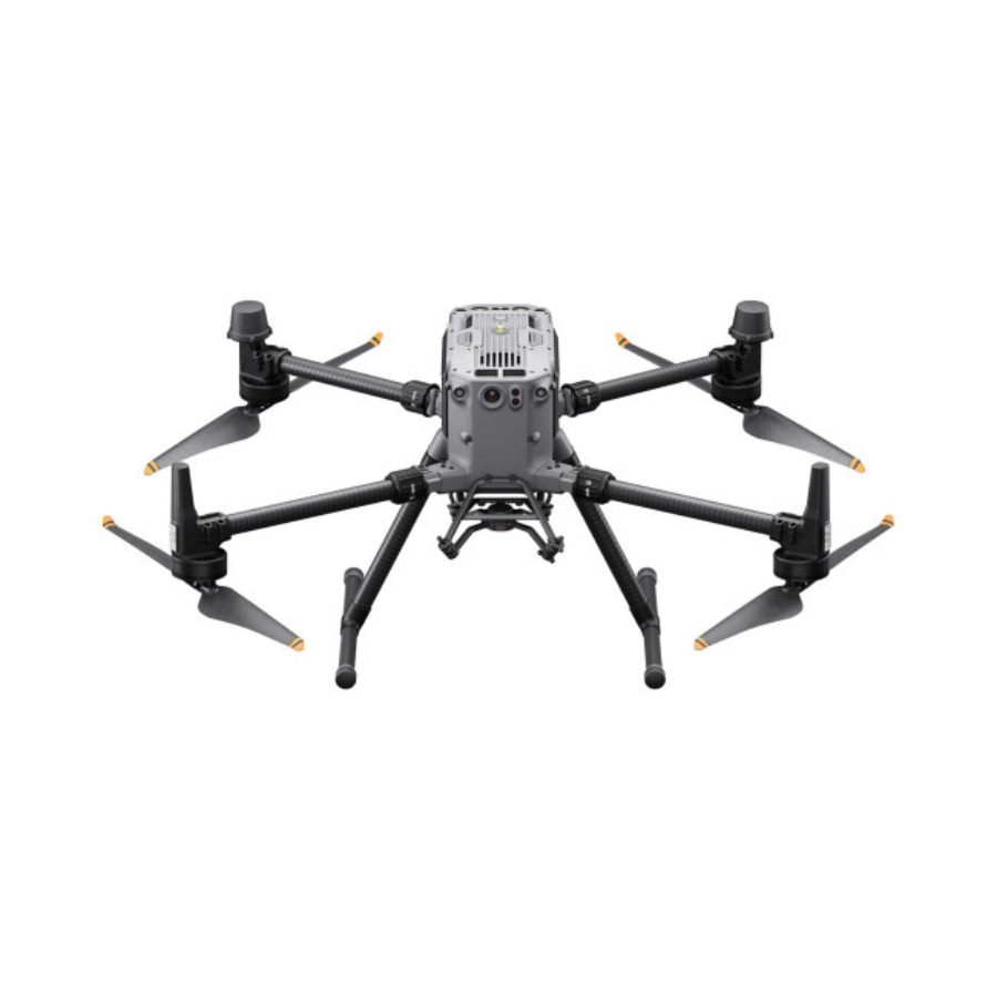
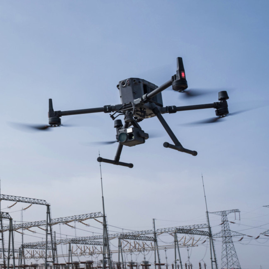
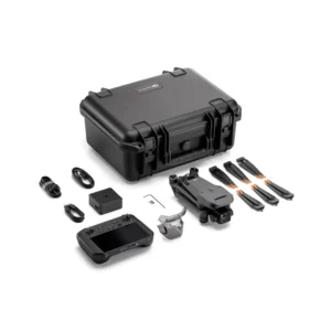
The DJI Matrice 350 RTK (M350) is a professional-grade UAV tailored for diverse industrial applications. This robust and versatile drone integrates advanced flight features with high-quality imaging systems, making it ideal for tasks like aerial inspections, mapping, and surveillance.
The Matrice 350’s modular design enables flexible payload configurations, allowing it to be fitted with various cameras, sensors, or specialized equipment according to specific project needs. This adaptability positions it as a dependable tool for professionals across sectors such as construction, infrastructure inspection, agriculture, and public safety. At Fly and Tech, we offer the Matrice 350, providing tailored solutions to meet diverse operational requirements and enhance efficiency across various industries.
| Key Feature | Description |
|---|---|
| Enhanced Flight Safety | 6-directional sensing and positioning system for thorough obstacle detection and avoidance, arm lock indicator, and night-vision FPV camera for low-light operations. |
| Powerful Payloads and Intelligent Operation | Supports a diverse range of payloads, including the Zenmuse H20 Series and third-party payloads via DJI’s Payload SDK. Features high-precision mapping and automated inspection for data collection and repetitive tasks. |
| Extended Flight Time and Reduced Costs | TB65 battery supports up to 400 charge cycles, reducing flight costs. Dual-battery system with hot swapping and a maximum flight time of 55 minutes. |
| Expandable Ecosystem | Utilizes DJI’s SDK and API for integration with third-party payloads and applications, including cloud API integration for connectivity to external cloud platforms. |
| Durability for Challenging Environments | Built for industrial and commercial use with a robust design that ensures reliable performance in harsh weather conditions. |
| Precision with RTK Module | Equipped with a high-precision RTK module for centimeter-level accuracy, essential for industries such as construction, surveying, and civil engineering. |
| Payload Versatility | Compatible with the Zenmuse L1 and L2 payloads for advanced applications like 3D topographic surveys and AEC (architecture, engineering, and construction) tasks. |
| Extended Operation Time | High-capacity batteries for extended flight time, perfect for large-scale mapping or agricultural monitoring. |
| Automated Flight Modes | Intelligent flight modes to automate complex tasks, useful for large agricultural fields or long infrastructure inspections. |
| Robust Transmission | Advanced transmission system for stable and secure communication, critical for real-time data transmission in emergency responses or security surveillance. |
| Dual GNSS Support | Sophisticated GNSS system for enhanced navigational accuracy, essential for precise mapping and surveying tasks. |
| Modular Design for Easy Upgrades | Modular design for quick maintenance and upgrades, ensuring the drone adapts to evolving needs and the latest technology advancements. |




Reviews
There are no reviews yet.