


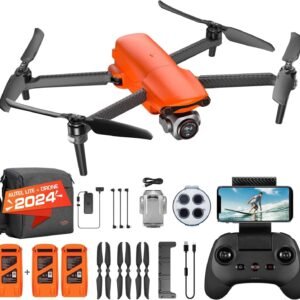
Description
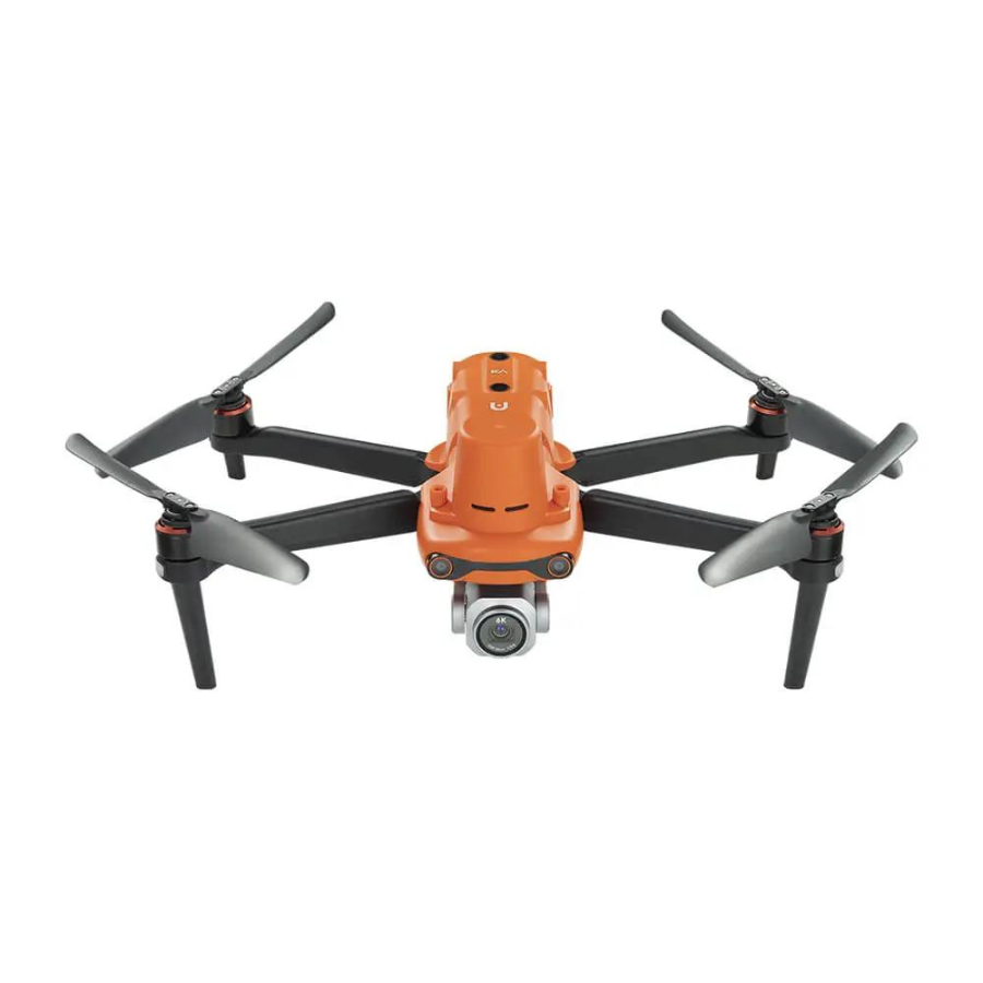
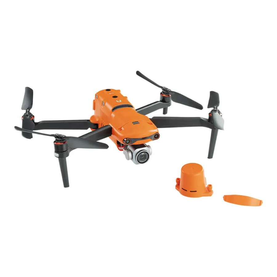
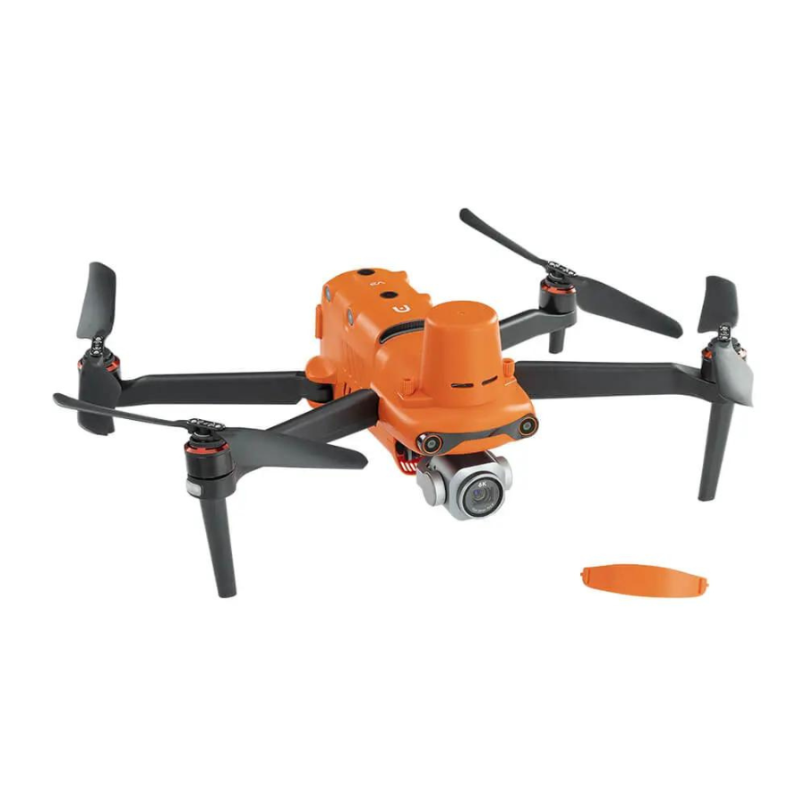
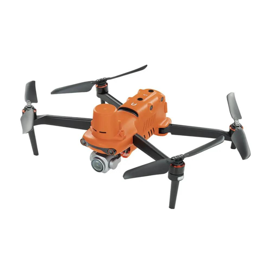
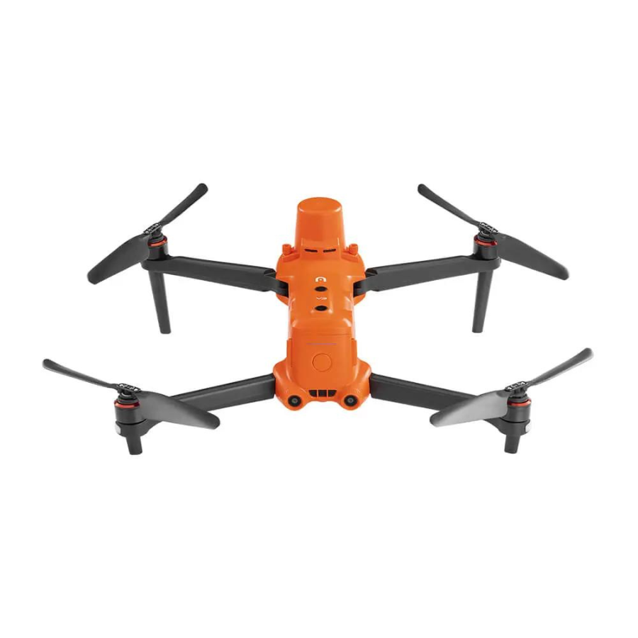
The Autel Robotics EVO II Pro RTK V3 is a high-performance drone tailored for professional surveying, mapping, and photogrammetry. Building on the success of the EVO II series, this version is equipped with advanced RTK (Real-Time Kinematic) technology, making it an exceptional tool for industries that require highly accurate positioning and data collection, such as construction, agriculture, public safety, and energy.
| Key Feature | Details |
|---|---|
| RTK Module for Enhanced Precision | Integrated RTK module delivers centimeter-level accuracy by combining real-time satellite data and advanced positioning algorithms. It reduces the need for ground control points (GCPs), enhancing workflows for professional surveyors and engineers. |
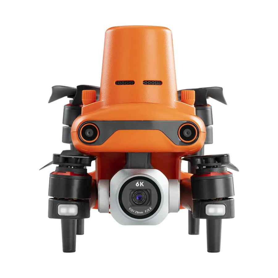
| 6K Ultra HD Camera with Adjustable Aperture | 1-inch CMOS sensor captures stunning 6K video at 30 fps and 20MP stills. Adjustable aperture (f/2.8 – f/11) provides better control over exposure, depth of field, and image clarity, even in challenging lighting conditions. |
| Intelligent Flight Modes | Features multiple intelligent flight modes like Waypoint Planning, Orbit Mode, and Visual Tracking for automated tasks, efficient mission planning, object tracking, and dynamic video capture. |
| Advanced Obstacle Avoidance | Omnidirectional obstacle sensing with 12 computer vision sensors and two sonar sensors, providing 360-degree obstacle avoidance to ensure safe navigation in environments with numerous obstacles. |
| Long Flight Time and Extended Range | Flight time of up to 40 minutes on a single charge, with a maximum transmission range of 9 km (5.6 miles) for extended flights and stable signal strength even in complex environments. |
| Dual RTK and PPK Compatibility | Supports both RTK (real-time corrections) and PPK (Post-Processing Kinematic) workflows, allowing for fast results and high accuracy in maps and models through post-processing. |
| High-Resolution Mapping and 3D Modeling | Captures high-resolution data that can be converted into precise orthomosaics and 3D models, offering incredible accuracy and fine details for post-processing. |
| Robust Design for Challenging Conditions | Weather-resistant and rugged design, capable of operating in extreme conditions such as construction sites, forests, and coastal areas, with resilience to wind and dust. |
| Easy Integration with Existing Software | Seamlessly integrates with various surveying and mapping software solutions like Pix4D and DroneDeploy, facilitating efficient data transfer and workflow optimization. |
| Intuitive Control and Interface | Controlled via Autel’s Smart Controller with a 7.9-inch ultra-bright touchscreen display for clear visibility in direct sunlight. The intuitive interface eliminates the need for external devices, offering quick setup and deployment. |
Applications:
The EVO II Pro RTK V3 is a powerful tool for a wide variety of professional applications, including:
Aerial Surveying and Mapping: Collect high-precision data for topographic maps, 3D models, and orthomosaics.
Construction Monitoring: Track and document progress with high-resolution imagery and 3D modeling.
Agriculture: Perform crop health monitoring and field analysis with detailed multispectral and NDVI data.
Public Safety and Search & Rescue: Use the drone’s long flight time and advanced sensors for effective search operations, real-time mapping, and surveillance.
Infrastructure Inspection: Efficiently inspect power lines, bridges, and other large structures with accurate, close-up imagery.
In summary, the Autel Robotics EVO II Pro RTK V3 is a state-of-the-art drone that offers professional-grade precision, versatility, and high-quality imaging capabilities. Its RTK functionality, intelligent flight modes, long-range transmission, and user-friendly design make it an ideal choice for professionals in industries such as surveying, construction, agriculture, and public safety.


Reviews
There are no reviews yet.